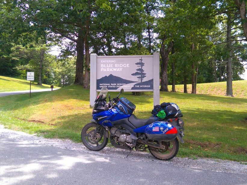
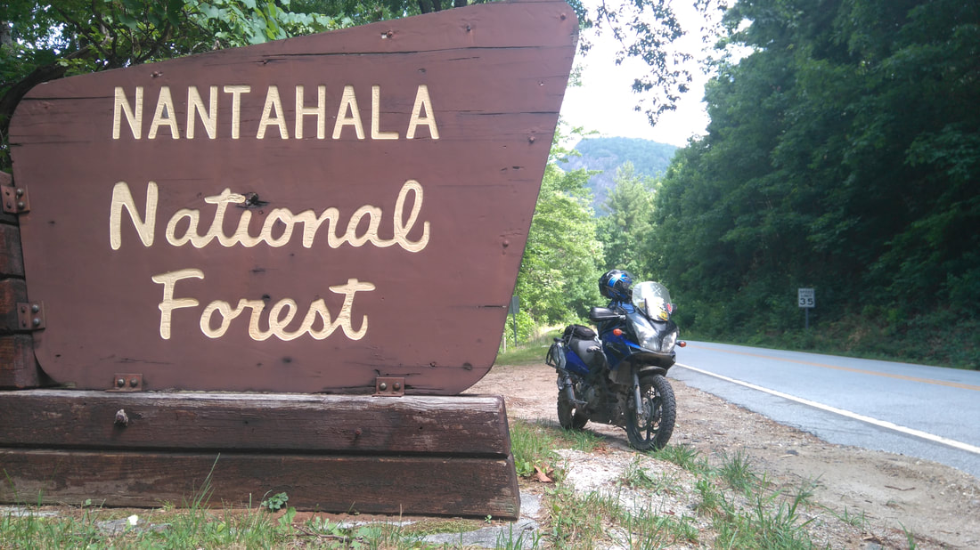
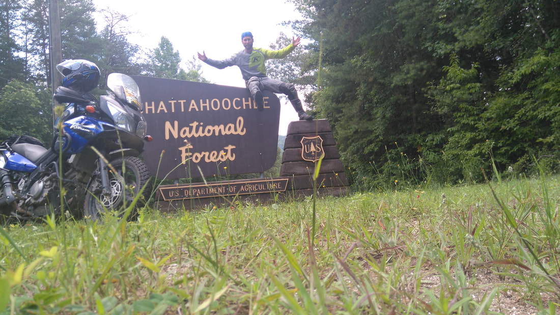
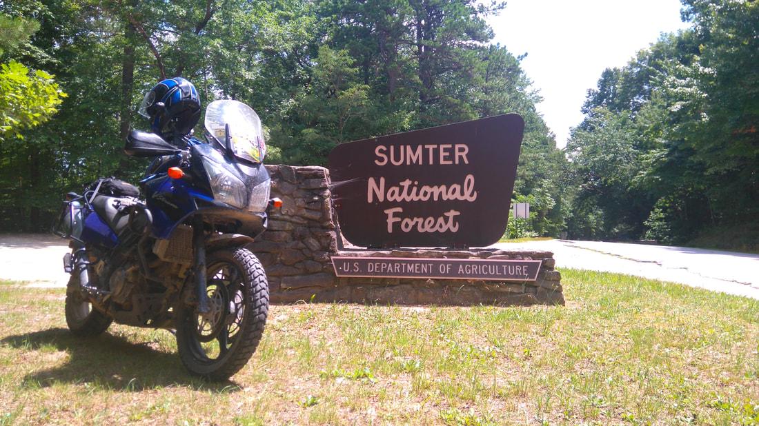
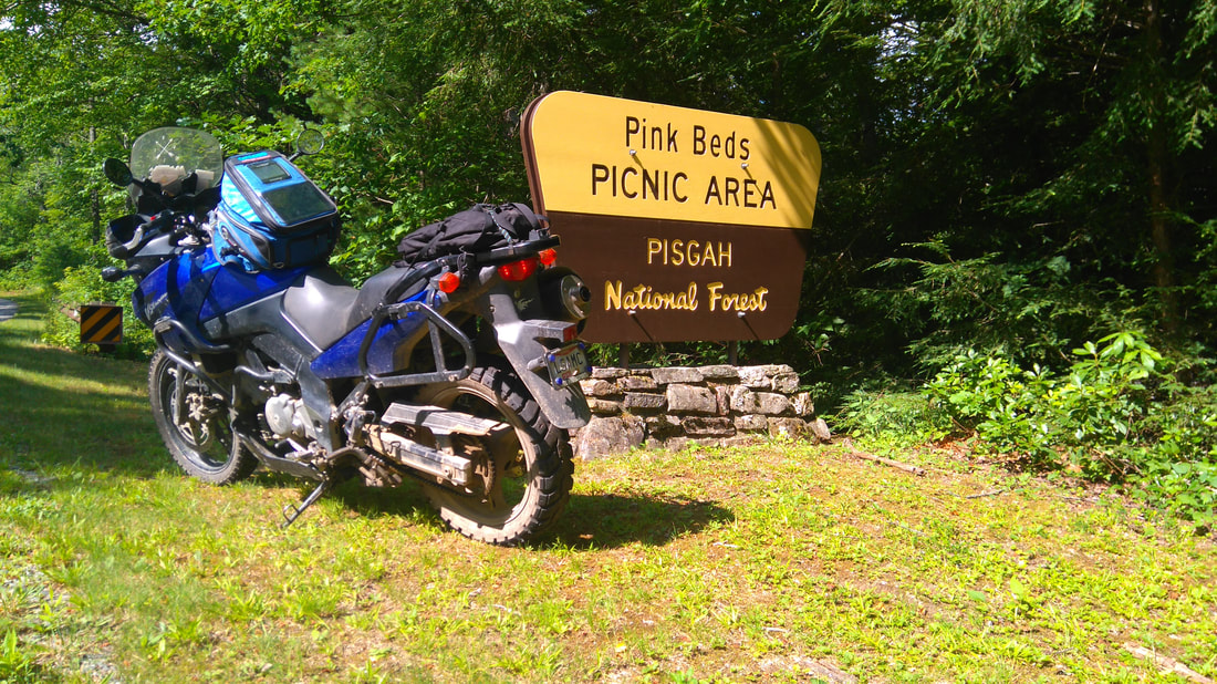
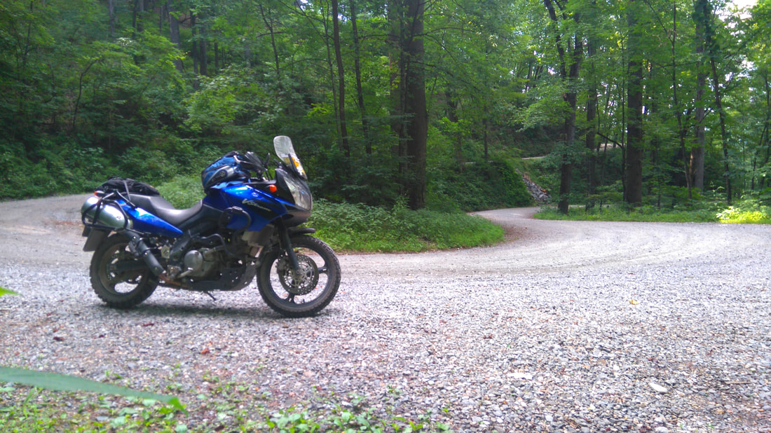
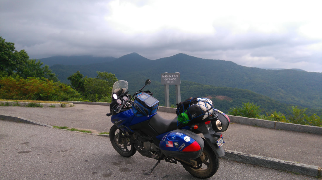
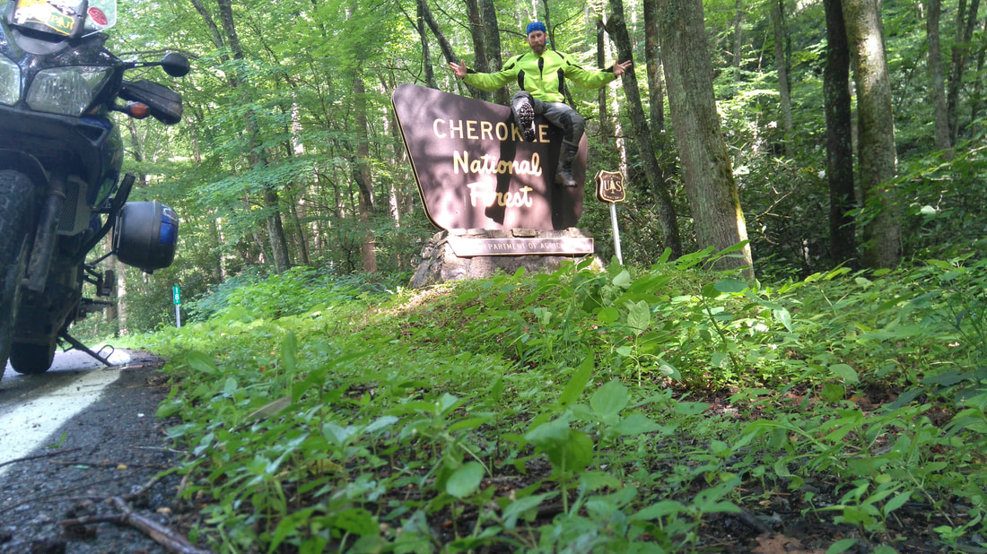
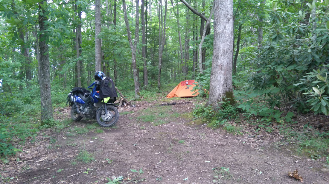
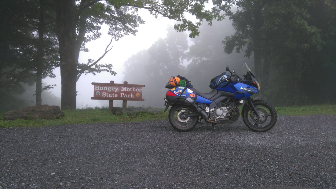
 Kane continues the ride through Asheville, North Carolina, the northern mountains of Georgia and South Carolina, the Blue Ridge Parkway, moto-camping in Tennessee’s Cherokee National Forest (sort-of), and the Back of the Dragon on Virginia State Route 16. The ride turned solo after Gabe’s leg injury in George Washington and Jefferson National Forest put him down for the count (see Appalachian Adventure Part 1 – Who Needs a Tibia Anyway?). Six hours of sleep later, I am groggily packing and loading the bike. My motel neighbors’ are Harley riders and can’t help but inquire about my wildly different loaded down adventure bike (a 2005 Suzuki V-Strom 650 or as many know it, ‘The Wee’). It’s a cool, overcast morning as I point the bike south on US-220 to head towards Gabe’s broken leg in Carilion Roanoke Memorial Hospital. Gabe is still waiting for surgery when I arrive, but is in good spirits (probably due to the pain meds). His bike is on the way to his son’s mother-in-law’s near Nellysford, VA and his kids are on the way from Columbus, OH. A shared family vacation / motorbike trip was the plan for this particular outing, so I met my wife and kids, wife’s cousin and husband, and my mother at our rental house in Asheville. I changed up my riding plans due to Gabe’s unfortunate circumstances and spent an extra day in the amazing town of Asheville checking out the 4th of July festivities downtown, tubing on the French Broad River, gallivanting around town, and general family quality time. Originally Gabe and I were going to do an overnight moto-camp in the Chattahoochee National Forest and loop back to the rental in Asheville through Gorges State Park in South Carolina. Not wanting to pass up the opportunity to add a couple more states to my riding resume, I came up with a reroute that would allow me to touch rubber in Georgia and South Carolina on a day loop. Albeit, there would be less dirt and gravel on the route but fun nonetheless (and I would still be able to ride in more amazing National Forests, a premise for the trip). The highlights of the day included beautiful views of the Great Smoky Mountains and awesomely twisty tarmac in the southern Appalachian Range (particularly on the peg scraping GA-28, giving the Tail a run for its money). I crossed the Georgia-South Carolina border singing the Dukes of Hazzard theme on an amazing forest service road crossing the Chattooga River. Running another scarcely used forest service road paralleling the Blue Ridge Parkway in Pisgah National Forest was another amazing experience and a great way to end the day. For the return trip home I planned on splitting up from the family and meeting them in Columbus, Ohio the next evening. The family planned to take all interstate up through Knoxville with an overnight stay around Lexington, Kentucky before meeting me at a hotel close to the Columbus airport. We would spend the night in Columbus and get my daughter on a plane back to Tucson the next afternoon before heading back to Youngstown. My plans to get to Columbus were a little more adventurous. After running through Asheville I took the wonderfully curvy Town Mountain Road to connect to the Blue Ridge Parkway. As soon as I crossed through Craven Gap and onto the BRP I could see a helluva dark set of clouds in the direction I was heading. I stopped at Tanbark Ridge Overlook for a few photos of the mountainous backdrop and to ponder jumping into my rain gear, which I decided against. As I was soaking in the breathtaking views of this national treasure a vintage BMW R bike pulls up and stops next to me. After checking out each other’s rides, he decides to turn around and go the other way as I proceed to the north. As I climb the mountainous terrain back into Pisgah National Forest it felt as though I was launching into the sky. Clouds were moving in and around the ridgelines as I rode, heightening the feeling of flying through the air. Visibility was limited but with little traffic to worry about it was amazingly relaxing and peaceful. The wind picked up as I climbed above 5000 feet into the Craggy Gardens area. A pit stop at the Visitor Center resulted in an empty bladder and a few new stickers to add to the collection. Continuing through tunnels and slowly passing or stopping at all of the overlooks, I eventually rounded Mt. Mitchell and climbed down out of the clouds to find beautiful blue skies on the other side. I eventually found myself in the quaint Little Switzerland area and exited off the BRP for a quick side trip. I quickly descended and ascended a few thousand feet on the superbly twisty NC-226/226A before completing the circle along the ridgeline. On the descent I came across a group of deer chilling out in the middle of the road but was able to scrub speed and rapid-blast the horn to avoid any real problems. If you are ever in the area I highly suggest making this loop and stopping at one of the café’s or staying in one of the lodging options. Beautiful views, amazing roads, and southern hospitality will definitely lead me back in the future. Continuing up the BRP for a while, I made my exit at NC-181 and eventually found myself running past Sugar Mountain. A few years back we did a destination Thanksgiving with the wife’s side of the family, staying up the road at Beech Mountain with a little snowboarding at Sugar. Growing up with the nickname ‘Sugar Kane’, the mountain had a blast of nostalgia in the air as I rode past. The bike and I were both getting hungry so I stopped for gas and lunch in Banner Elk. I planned to camp that night so I decided to sit down at the Bayou Smokehouse & Grill for a late lunch. Great service, excellent food, and a relaxed atmosphere had me kicking my leg over the bike with a smile on my face. The climb up to Beech Mountain and over to the back bowl was fun, dragging a foot peg here and there. At the top I hit some tight kickbacks past a few bungalows and ended up reaching 5572 feet, my highest elevation for the trip. Eventually I made my way to the back of Beech and missed my turn next to Buckeye Lake. Luckily, the mountainous twisty roads were fun so I didn’t mind a little back tracking. Back on the route, I turned off onto Buckeye Creek Rd, the first of only two dirt roads I would traverse on this leg. The short dirt section led me into the zigzagging goodness of the state and county roads out of western North Carolina and into eastern Tennessee. The next twisty goodness led me up Cross Mountain Rd and into the heart of Cherokee National Forest. Heading southwest on TN-91 I spotted my final destination high up on the ridgeline: Holston Mountain Fire Tower. I took the right onto Panhandle Road (also known as National Forest 202) and headed up the mountain. The dirt road at the bottom was rough but as I climbed and hit the kickback section the dirt turned to rough pavement. Once towards the top the road returned to dirt and I noticed the gate for the fire tower was closed. Banking to the left I quickly found a trailhead with what appeared to be a campsite. After a quick recon, I decided that the top of Trail 48 would be home for the night. Still early in the day I was taking my time unpacking the bike and setting up the tent. I was on the side of the ridge so I rode the bike down to the bottom of the trailhead and up onto the flatter campsite. The ridgeline housed several antennas so my cell service was excellent. At this point, I had heard from the wife that they were having truck troubles. They ran through a massive thunderstorm and the truck was having problems starting after they stopped for gas. She said it was raining so hard on the freeway that they couldn’t get over 30 MPH and it felt like they were driving a boat. Luckily the storm went through quick and they were able to make it to the hotel just outside of Lexington, Kentucky. We decided they would see if someone could look at the truck in the morning and give me an update if I had to ride their way instead of my chosen route the next day. Unfortunately for me, that huge storm was coming directly at me. At this point I started picking up the pace and set up the tent, put everything inside, and hung my food bag on a tree a couple hundred feet away. The clouds continued to get darker as I gathered firewood and just as I went to light it, the sky opened up. I quickly dove into my tent and hunkered down. The thunder was booming on either side of the ridge, dramatically echoing in the valleys below. I was just below the ridge and there were plenty of trees to block the wind, but the rain was coming down in buckets. I had to cinch down the cover as close to the ground as possible but my Alps Mountaineering Mystique tent held up perfectly. Laying comfortably I waited out the storm reading motorcycle articles and occasionally texting the wife. A couple hours passed and the storm subsided. The remaining dark clouds, nighttime sky, and shadow of the ridgeline made for a pitch-black night. I decided to stretch my legs and grab dinner from my critter proof hanging food bag. With soaking wet wood the warmth, light, and cooking potential of a fire was out of the question. I quickly ate my “dinner” of jerky, granola, and dried fruit and rehung my food bag. Back in the tent as I started to get ready for bed I hear a vehicle heading up Panhandle Road at a brisk pace. Since it is around a quarter after nine, pitch dark, and I am on a dead-end road I decided to err on the side of caution. For whatever reason I just had a ‘feeling’ so I grabbed my Glock and my flashlight before jumping out of the tent. I walked about 25 feet down away from the trailhead into the woods. With a few small trees to my back, I see the headlights come up the other side of the ridge. Moving slowly now, the vehicle made the turn and crept along towards the intersection of the trailhead and stopped. The only things I can hear are the captured rain drops being released from their leafy captors as they randomly hit the ground and the sound of the ominous engine. I parked my bike so that it was down where the end of the trailhead and campsite met, tucked behind the woods. I have my CCW (concealed carry permit) so when I am riding and planning on dispersed camping by myself I will carry in my tank bag but I never keep a round chambered just as an extra precaution. Generally speaking, I usually only carry to ward off any large animals and would only discharge a ‘warning shot’ to scare the creature away. In this situation I figured I would wait to chamber the round until absolutely necessary… everyone knows that sound and maybe that alone would deter trouble. Seconds feel like minutes as I stand there in my modified-Weaver stance with one hand ready to chamber. At this point my mind is racing, why would someone come up here after that hellacious storm this late in the evening? It is a Friday night and the campfire ring seems like it has been used recently with signs of a little beer drinking. Is it a ranger checking the common camping areas? Or is it a bunch of kids out trying to party? Did I steal their make-out spot? Did I steal their drinking or drug spot? Or are they debating on robbing me or worse? After a while of this, the vehicle decides to drive on down into the trailhead. At this point I crouch down and wait to see what happens. Again, seconds feel like minutes but the car just sits there, engine and lights running, but I know for sure that they can now see my bike and tent. At this point I cross off the ranger option because if it was a ranger they would have announced themselves. After some time, they back up the hill to the top of the trailhead entrance and point the vehicle back towards the way they came. Instead of heading back down the mountain they stop near the trailhead entrance, cut the engine, and turn off the lights. I stand and strain every sensor in my brain towards my ears. It is pitch black and the rain drops are still freeing themselves from the leaves above. Standing completely still with such focus is exhausting but the adrenaline does its job. After what seems like an eternity I hear a door shut, engine fire up, and see the reverse lights kick on. As the ominous presence backed up, I decided to do the same. I moved another 15 feet back, placing small trees on my back and left side, then crouched down again. The vehicle came back down the trailhead but this time a few feet further and pointed the car and its menacing headlights towards my tent. What is this, Stephen King’s Christine? Time slowed again as I kept my head on a swivel and concentrated on hearing anything besides the sound of the engine and randomly falling water drops. Then suddenly the ominous vehicle backed out and drove down the mountain. Since I only heard a car door once I decided to wait for a while before I made a move. I could not be sure that everyone that may have been in that vehicle on the way up the mountain had the same number of people on the way down. After about 10-15 minutes I decided it was time to clear the area. I chambered a round, clicked on my ultra-bright flashlight and cleared the area until I felt it was safe. I made the quick decision that I could no longer stay there, maybe they were going to get more muscle or their own firearms and planned on coming back. Since I stayed out of site they had no idea if someone was there or if there was one or two people. I ran down and grabbed my food bag out of the tree, tore down the campsite, loaded up the bike, and geared up all at record times. Truthfully I lost all concept of time and felt I was out there standing motionless in the woods for hours upon hours so I was amazed to find out exactly how long I was out there with the ominous presence. Minutes before I heard Christine coming up that mountain road I had texted my wife. I was planning on shooting her another text just to say I had to bail on camping and would let her know when I made it to a hotel. I looked at the time stamp from the original text and it was 21:18. As I stand there next to my loaded bike it was 23:24! I spent over two hours standing in the woods with a gun in my hand (that thank goodness I did not have to use). Once again on this trip I find myself riding very late at night searching for a hotel. The ride down the mountain was interesting especially after the massive storm that swept through: mud, water, downed tree branches, washed out road, and extreme darkness. I made it to the bottom and reconnected with TN-91. I searched my GPS for the closest motels and didn’t find much. I picked one up in Bristol, TN and figured if I saw one along the way I would just stop there. The first gas station I came across was closing so I asked the attendant in the parking lot but they just point me the way I was already heading. Eventually I made it past Bristol Motor Speedway and had yet to see anything except the glowing eyes of the occasional family of deer on the side of the road. My old GPS disappoints me again and sends me down residential streets that eventually dead end. Back on the main road I crossed into Bristol, Virginia and find the Econo Lodge on VA-381 (which luckily only had one room left). I text the wife, unpacked the bike, hung all of my wet gear around the room, took a shower, and passed out around 2 am. Luckily the truck complied the next day and brought my family into Columbus. After repacking my now dried out gear I hit the road north but not before a little side trip. After a few interstate miles I made a foggy ascent into Hungry Mother State Park and the beginning of the real fun of the day, the Back of the Dragon. Thirty-two miles, 438 curves, and crossing three mountains, the BOTD is definitely not for the faint of heart! The route connects Marion to Tazewell on VA-16 and is a must see if you are in the area. Gabe ended up having that surgery with a couple cadaver parts, plates, and screws added to his leg. He was out of commission until late fall and couldn’t bear much weight for a few months. That December we drove down to Nellysford and took turns riding his BMW F650GS the 389 miles back to Columbus. August 2018 we plan on retackling the GW&J National Forest roads on the newly minted Mid-Atlantic Backcountry Discovery Route so that Gabe may finally conquer those woods… hopefully Christine doesn’t track me down again! A version of this story was originally posted on Bike Bandit's blog in July 2018. Stay tuned for Gabe's reckoning with the wilds of George Washington Forest when we conquered the MABDR... or did we? 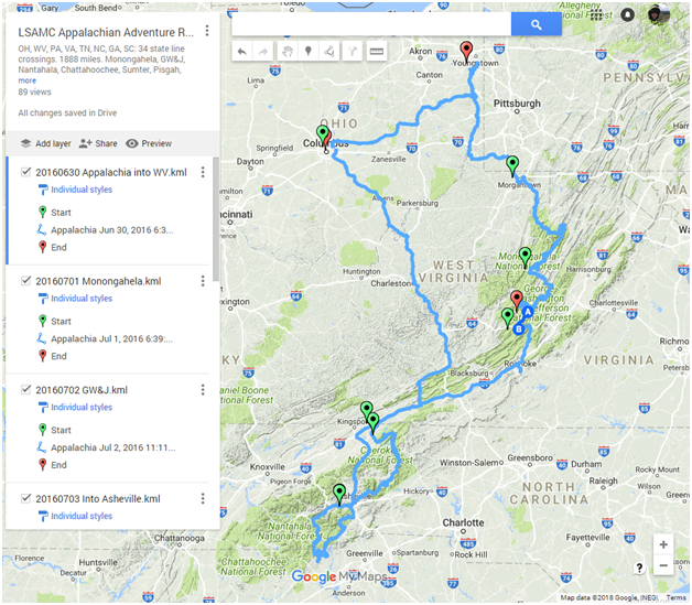 I ended up with a total of 1888 miles with 33 state line crossings through OH, PA, WV, VA, TN, NC, GA, and SC. I recorded a minimum elevation of 479 feet and a maximum of 5572 feet and was able to ride in the National Forests of Monongahela, George Washington & Jefferson, Nantahala, Chattahoochee, Sumter, Pisgah, Cherokee, and Wayne. Check out the finale article Riding with the Elderly on the Mid-Atlantic Backcountry Discovery Route for the stunning conclusion of the Appalachian Adventures Trilogy!
2 Comments
Your comment will be posted after it is approved.
Leave a Reply. |
Appalachian ADVAdventure & Dual Sport Motorbiking, LLC Kane's Twisted Throttle Twists & Turns Blog Articles
Kane's Denali Electronics Blog Articles
Archives
February 2024
© Copyright 2024 Appalachian ADV - Adventure & Dual Sport Motorbiking, LLC
A Veteran Owned Company [email protected] PO Box 3103 Youngstown, OH 44513 |
Proudly powered by Weebly









 RSS Feed