|
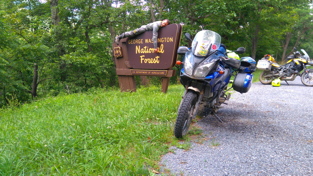
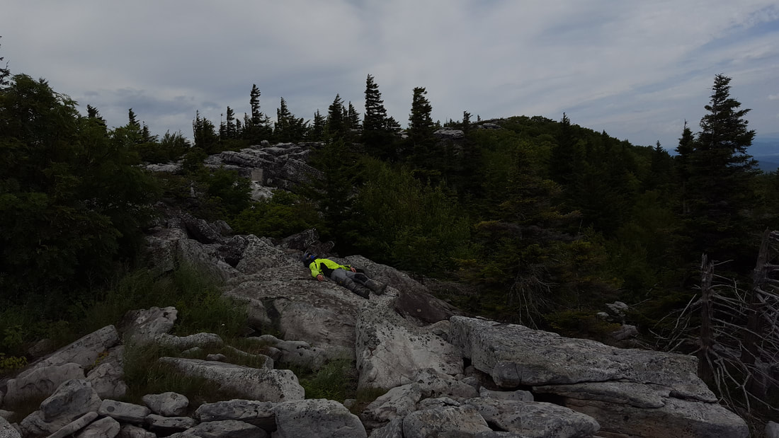
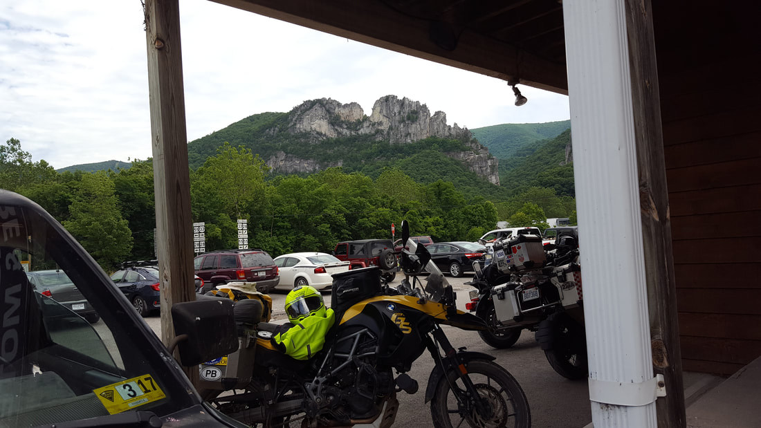
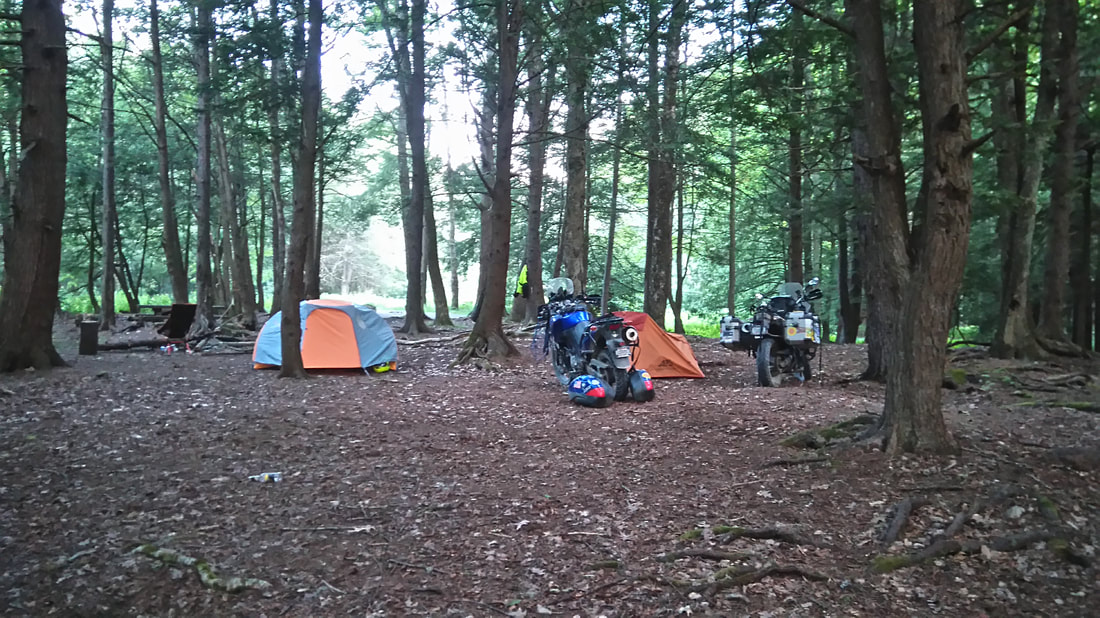
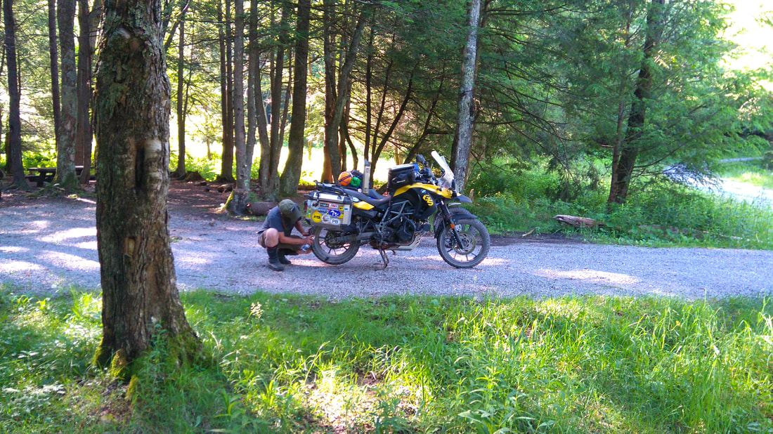
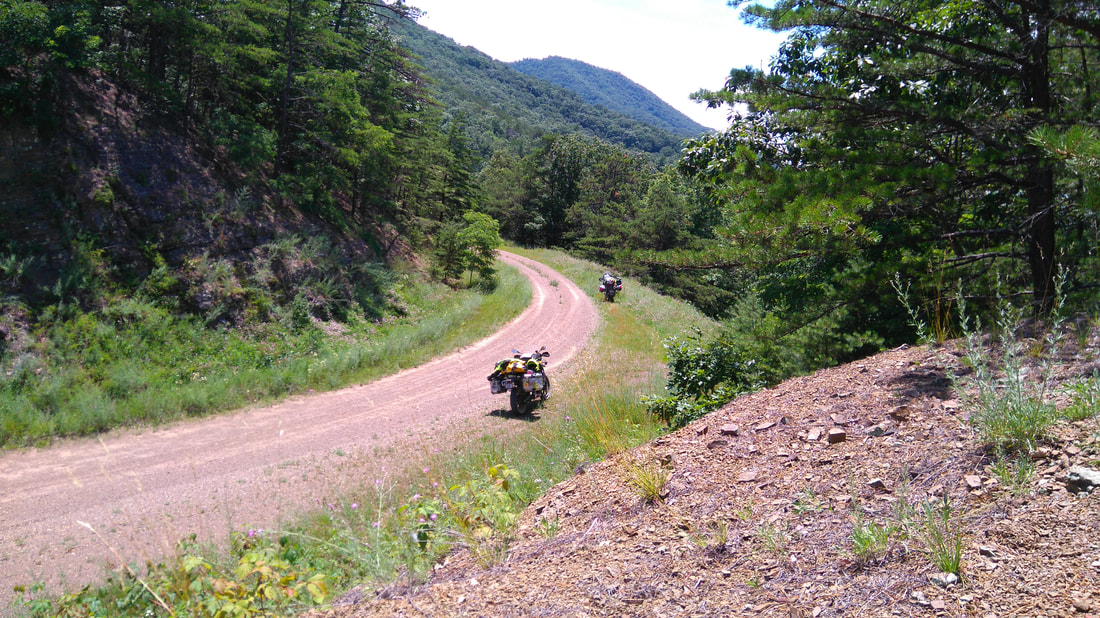
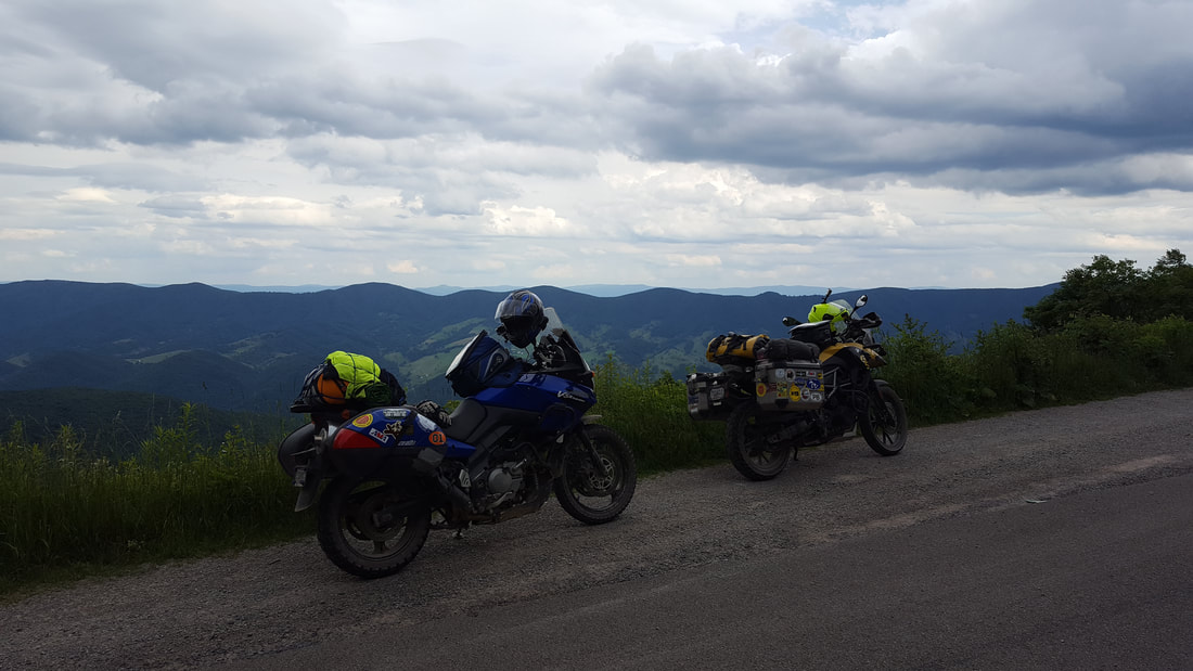
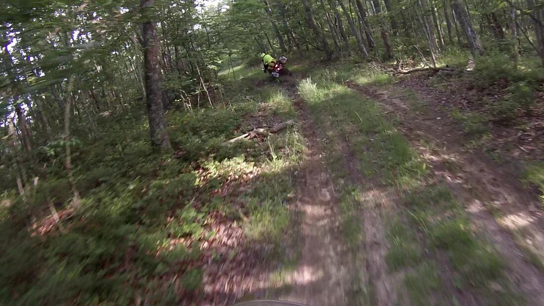
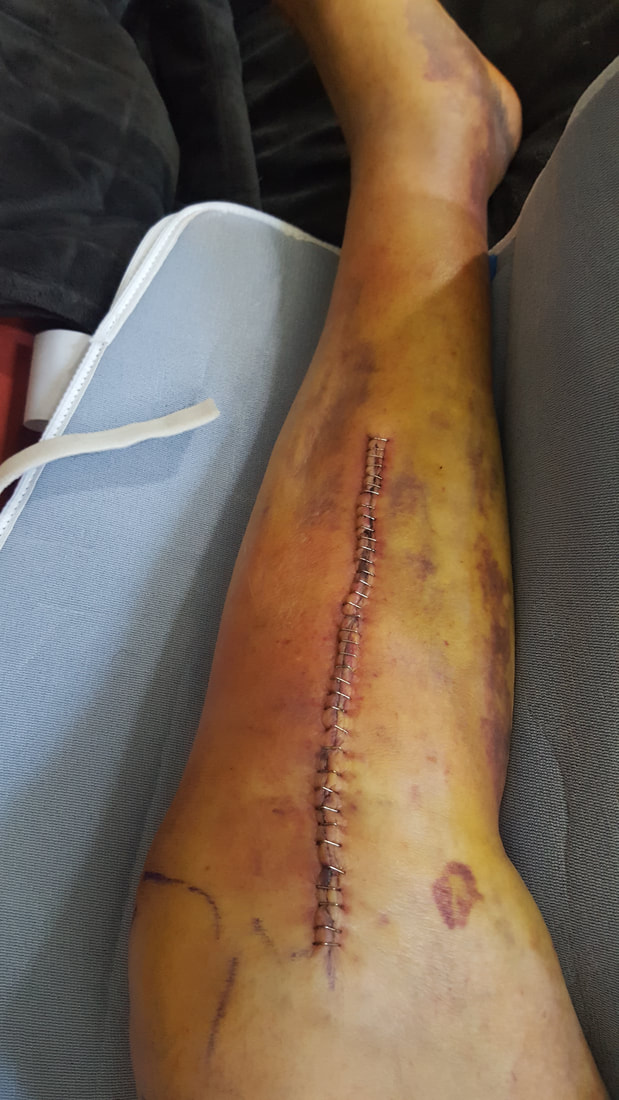
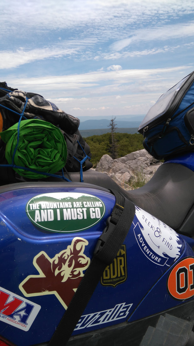
The Sena conveys the pain as I hear my riding partner agonizing and see him writhing on the ground. We are in the middle of the Appalachian Mountains with no one around for miles. His muddied bike is on its side with the back wheel still spinning, the rider might be down but the Beemer is still itching to go. As I pull up to the scene… I’m getting ahead of myself here, let me take you back to the beginning. After months of planning my riding buddy Gabe and I had our itinerary lined up. Eleven days to take us along the Appalachian Range from Ohio to Georgia and back. I mapped out a route that would have us riding around those wonderful green and blue markings on the map, putting two wheels in as many National Forests as possible. My Suzuki V-Strom DL650 and his BMW F650GS would be packed down with camping gear along with our normal provisions and would see us comfortably riding everything from superslab to twisty secondary and tertiary pavers to 2-track forest service roads. Our first two days of riding would take us into the climbing, descending, twisting, and turning hills of the northern spike of West Virginia and southeast Pennsylvania then back into West Virginia’s Wild and Wonderful gravel tracks of the Monongahela National Forest. Heading into Monongahela a warning sign to larger vehicles at the edge of Hendricks would confirm that an excellent stretch of road for a motorcyclist was impending and it didn’t lie. Heart pounding twisty kickbacks climbing up and down the Cheat River valley walls on WV-72 put a smile on our face and challenged our cornering skills. An impromptu trek into the Dolly Sods Wilderness Area on a few scenic gravel tracks was followed up by an excellent lunch stop at Yokum’s Store and Motel next to Seneca Rocks. After our second day we retired for the night at a dispersed camping spot near Lake Buffalo and the West Virginia-Virginia border. We found a perfect spot next to Big Run in Toolbox Hollow, unloaded the packed down bikes, set up our tents, and scrounged for firewood as the summer sun slowly set (I always carry a small collapsible hand saw for such occasions). Relaxing in my new ultralight camping chair we stoked the fire, evaluated the days ride, and excitedly dove into the next day’s ride map. In the morning we lowered our critter-proof chow bag dangling from a tree to enjoy a granola and fruit breakfast while we broke camp, lubed the chains, and loaded the bikes. After picking a serene spot in the woods overlooking the babbling brook for the morning download, we booted up the kickstands and throttled off. Making our way over to WV-92 we decide to stop for a proper breakfast at Ryder’s Chevron Restaurant in Boyer. Real down home cooking at a reasonable price with that famous southern hospitality. With full bellies we pointed the bikes to Green Bank Rd attempting to find a pass over the Appalachian ridge line into Virginia and US-250. Where the pavement ends a sign warned us that we are about to embark on a ‘No Thru’ road. With all of my studying of the Google Machine, we decided to push on and see what happens. We climbed past a few houses and the road turns into an unmaintained mess, but continues on. (Sometimes) dodging rocks, ruts, and mud we eventually make it to the top of the ridge and continue past Camp Allegheny Battlefield, a Confederate outpost during the American Civil War, and onto Old Pike Rd down to US-250. After traversing the timeworn road and riding through a historical battlefield my interest was piqued. After returning from our trip I found out that Camp Allegheny was a strategic defensive outpost held by the Confederates near the overland route connecting the Ohio River with the upper Shenandoah River valley. Union forces successfully controlled most of the mountain ranges in the area and continued to push for more ground. To further solidify their stance and protect the Baltimore and Ohio Railroad along with the Staunton-Parkersburg Turnpike, Union forces engaged the Confederate army at Camp Allegheny in December of 1861. Despite the Union’s higher troop numbers, the Confederates successfully kept them at bay, but their forces would eventually abandon the camp after the end of the winter. Nothing like a motorbike to really show you the road and ride you into a history lesson. US-250, dubbed the Highland Turnpike, provided awesome twisys, sweepers, mountainous kickbacks, and breathtaking views of the famous valleys and mountains of Virginia. Just before hitting another green section on the map we cut south on Cowpasture River Rd, a dusty gravel road with farmland all around us and the impending ridgeline to our left. We started the climb up Nelson Draft and into Washington National Forest. Traversing the twisty mountain road we had sweeping views of the valley below and the mountain above with big beautiful titanium white clouds on a phthalo blue pallet, Bob Ross couldn’t have painted a better picture! A couple years later this section of dirt would end up being part of the Mid-Atlantic Backcountry Discovery Route (MABDR) that runs from the North Carolina/Virginia border up to the New York Pennsylvania border on mostly forest service roads. Running north around the next ridgeline, we made it to our next dirt road excursion on Bath Alum Ridge Rd. We knew we were in for a treat as soon as the rubber left the pavement and we climbed up this not-very-well-maintained forest road. Plenty of curvy mountain roads and a couple of water crossings had us grinning from ear to ear. This section would also find its way on the MABDR. Around one of the blind turns Gabe made a sudden stop as a tree had blocked the road. I was riding a bit too close to him (trying to get close-up GoPro videos!) and by the time I heard him say “TREE!” over the Sena, it was too late. I stomped the back break, grabbed the front break, and luckily only lightly tapped my front tire on his back tire. Unfortunately I couldn’t keep the bike upright but was able to set her down gently while Gabe found his way through the leaf covered branches of the downed tree. Luckily it was the only time my trusty steed took a dirt nap on the trip! Running into a dead end we backtrack to the last intersection that, interestingly, did not show up on my out of date GPS. Instead of backtracking 45 minutes to our entry point we decided to follow the road down the hill and into the unknown. A few minutes later we found ourselves back on the pavement of Dry Run Rd. Once in Warm Springs we decide to fill our bellies again, but this time with something more than our normal jerky and granola provisions. Unable to find a place to eat without waiting for an extended time, we wandered down to Hot Springs and found a lovely bar and grill named Lindsay’s Roost. We parked the motorbikes outside the front window, received quick service, and had our food in no time. Lounging back we ejoyed the A/C with several glasses of cold southern iced tea and dined with Elvis, or at least the abundant paraphernalia of him scattered around the place. With hunger satisfied we headed to VA-39 and over the mountain passes back towards the West Virginia border. At Ryder Gap runs the gravel of Pub Rd 55, snaking along the mountain woodlands on the border. Google Maps and my GPS show this route climbing into the thick forest before dropping down the ridgeline on High Top Tower Rd back into Virginia to connect with Bolars Draft Rd. The plan was to take this past Lake Moomaw and set up another dispersed campsite off of Big Lick Rd before it runs into Rucker Gap. I had Gabe take the lead since he is the more conservative rider of the two of us (where I would just go for it, he may stop and take a look prior to crossing any obstacles). The twisting road steadily climbed under the mountain canopy to a group of abandoned looking cabins then banked left and turned into a 2-track. Another bank to the right and the 2-track looked like it hadn’t been utilized in quite some time. The trees and weeds lining the track had started to grow out into the thoroughfare, the tire tracks were much lower than the middle bump which also had grass and weeds growing a couple feet high in some places, and the tracks were covered with various depths of sand. Being the third time in a similar situation on the trip so far, I suggested to Gabe that we just keep going to make sure the ‘road’ doesn’t actually go through. The 2-track is slowly bending to the left as I peeked down at my GPS to see if it still showed us on a road. As soon as my eyes move back to the front I see Gabe switching from the left track to the right track to avoid a large watery mud pit. His front tire makes it over the middle hump, hits the less muddy right track, and kicks out. He dabs to stabilize the bike and I immediately hear him say, “My knee!” He hits the ground, his bike hits the ground, and he is rolling around in pain. I stop about 35 feet behind him in a flatter spot, kill the engine, grab my first aid kit, and run over to him. We get his helmet off and he swallows several Advil while I get his Beemer upright. I jump on his bike and ride it out of the muddy area to find that the road actually stops at the top of the ridge about 15 feet away! (Even though the GPS is assuring me that the road continues down the ridge!) I turn the bike around to ride back through Gabe’s muddy demise and park his Beemer next to my Wee. At this point we decide to see if he can stand up, which he can’t without excruciating pain. Not good. I walk back towards the ridge and miraculously get a signal. I Google “hospital” and find the closest one is back in Hot Springs next to Elvis’s restaurant about an hour away. Now it’s time to make a decision. We talk through the options… Call 911 but we figure they won’t send an ambulance all the way up to where we are and regardless we can’t leave the bike here or leave me here with both bikes. Next option is that I go and get help but we don’t really want to separate in case his condition worsens. Another option could be that he rides pillion on my bike and I ‘leapfrog’ the bikes back to the pavement then call 911 but this plan would take too much time, especially since we are approaching dusk. We can’t stay the night here since his adrenaline was wearing off and the pain was increasing exponentially. The last option we come up with is to try and get him on his bike to see if he can ride to the ED. Seems like the way to go. After wrapping his knee up with an ace bandage we have a 3-legged race to get him to where the bikes are sitting. Now we have to figure out how to get him on since his bad leg is what he would normally plant to get in the saddle. So, we go to the opposite side and can’t seem to get his leg over without causing agonizing pain (did I mention that Gabe is vertically challenged?). Last ditch effort – I get down on one knee next to the bike, Gabe sits on my shoulder, and I stand up and push his leg over the seat. It works but not without a yell or two in the finest French I have ever heard from Gabe (or should I say Hungarian)! We get him situated on the bike and he feels like he can ride. With help squaring his foot on the peg, he seems able to work the shifter with minimal discomfort. Initial plan will be for me to walk him up 25 feet, I run back and get my bike, ride 25 feet past him, and we repeat until we get back to the flatter and more well maintained gravel road – the leapfrog method. If he feels good after the first push then I’ll just jump on my bike and follow him. So we get him upright, I boot up the kickstand for him, and he’s off. He’s feeling pretty good so I let go and ride behind him, all the while telling him to take it slow and easy. If he falls again the damage already done will most likely be much worse. It takes us about 30 minutes to get back to the pavement, all the while contemplating all the possible scenarios between our Bluetooth headsets. There are only two red octagons between us and the hospital so I jump out in front to make sure the coast is clear which enables Gabe to roll through without having to stop. We make it over the mountain passes and valleys and back into Hot Springs over an hour after Gabe’s French lesson, I mean Hungarian. The sunlight is waning as I park my bike next to the Bath Community Hospital’s ED entrance. Meanwhile, Gabe is taking laps around the parking lot so that I can spot him while he parks since he can’t take his foot down off the peg (or risk a misstep). Once we get him stopped and kickstand down I run into the hospital and find… not a soul. Eventually I see a 6’4” ~285 pound security guard so I flag him down and tell him the rundown. He grabs a nurse, a wheel chair, and we meet out at the bikes. As the nurse and I contemplate how to get Gabe off the bike the security guard takes matters into his own hands, literally. He basically grabbed Gabe and picked him straight off the bike and set him delicately down in the wheel chair. This rural hospital has limited services so we are told they can X-ray but if nothing comes up, they will have to send him to Roanoke for anything like an MRI or surgery. In between registration, IV’s, and X-Rays, Gabe is contacting his kids, insurance, and AAA. The initial X-rays showed a broken tibia right at the ball of the knee. Good news is the break seems to be sitting straight but they don’t want to risk him driving back to The Ohio State University Medical Center in Columbus to get it fixed (Gabe’s hospital of choice) for fear if something shifts and cuts an artery he would bleed out. Their recommendation is an ambulance ride to Carilion Roanoke Memorial and immediate surgery. Gabe complies and coordinates with his kids in Columbus to meet him in Roanoke. He also gets a hold of his son who lives just south of D.C. to meet AAA to tow the bike to his son’s mother in-law’s house in Virginia about 45 minutes away. All the while I am unloading Gabe’s bike so he can take all of his gear with him to Roanoke and I’m also trying to contact local motels for vacancies. There are only two motels and one Bed-n-Breakfast in the area (besides the super-fancy Sam Snead Omni Homestead golf resort at $230/night – didn’t even bother to call them) and none of them have openings. My only options are to attempt to find a camping area or ride down to Covington of off I-64, but I’m not making the decision until Gabe is on his way to Roanoke. So finally around midnight they are loading Gabe up in the back of the meat wagon and I’m waving good-bye standing next to two motorcycles in a dimly lit parking lot. Gabe’s nurse and another employee walked over and we talked about the dangers of riding around these parts at night due to the massive amounts of wildlife and they wished me luck. I decided it was way too late to attempt to camp, it would probably take me more than the GPS suggested 20 minutes to find the camping area and then what would I do if there were no openings? I gingerly took US-220 over a nice mountain pass and down to the I-64 corridor, passing several groups of shining eyes on the side of the road. I averaged around 30 MPH and it took me over an hour to complete the normally 30 minute drive. My excitement was not done as I walked into the registration area of the America’s Best Value Inn after 1 o’clock in the morning. The only thing in the registration area besides a couple seats was a large screen monitor with Skype and a frazzled clerk with fire alarms blaring in his background. After about 10 minutes of waiting the clerk let me know there was still one room left but it was a smoking room. At this point beggars can’t be choosers, I’ll take it. Next problem, the key was not in the lock box below the monitor so I had to come to him to get the key! “Where are you?!” I asked in obvious annoyance. Luckily he was at another hotel a block away (that had no openings), so I saddled up again and went to get the key. Finally in the room, bike unloaded, it was just about 2 AM. “Dinner” and a shower put me close to 3 before finally calling it a day. Check out… Appalachian Adventure Part 2: The Cherokee Shootout References:https://www.civilwar.org/learn/civil-war/battles/camp-allegheny; https://ridebdr.com/MABDR A version of this story was originally published on Bike Bandit's Blog in May of 2018.
0 Comments
Your comment will be posted after it is approved.
Leave a Reply. |
Appalachian ADVAdventure & Dual Sport Motorbiking, LLC Kane's Twisted Throttle Twists & Turns Blog Articles
Kane's Denali Electronics Blog Articles
Archives
February 2024
© Copyright 2024 Appalachian ADV - Adventure & Dual Sport Motorbiking, LLC
A Veteran Owned Company [email protected] PO Box 3103 Youngstown, OH 44513 |
Proudly powered by Weebly











 RSS Feed